What Reamains is hope
Almost a month after the demolition of the venerable towers that stood at this location I decided to go and investigate the aftermath of the destruction. I had purchased a new camera and the germ of idea came to me.
"Go to where the two towers were demolished and take some pictures of what it's like there now !"
Now being Friday the 29th of November I drove up to the site in my Ford Focus as you can see in Fig 1 .It may be possible for more than one car to park there one advantage is getting away from the car park at the bottom.
This means you are out of the way of the walkers and able to operate relatively undisturbed, although there is a path to the trig point that runs parallel.
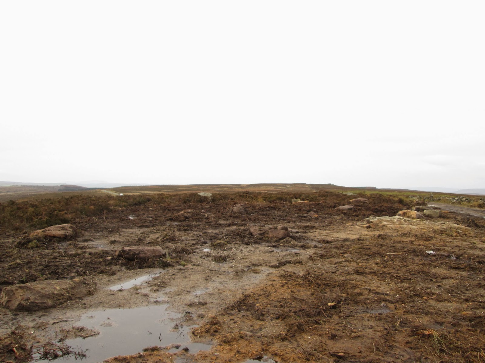
I figure about a good solid year should see the site a bit more stable than it is at the moment . I managed to turn the car around but I had to stay on the hard standing gravel that was left, Wander off the path on a vehicle that isn't a 4x4 and You are STUCK, wander off the gravel on foot and as you can see in fig 13 My foot sunk about 6 inches into the mud.!
The View is stunning in the height of summer,and if you can get up there in winter .
The site is 1200ft above sea level and open to the elements so that means lots of wind , rain, snow etc. One of my Ideas was to gather the boulders and build some kind of shelter for the poor radio hams that might use the site.
Somehow I can't see that happening; although, there are shelters on the tops of the Three peaks for the mountain goats, sheep and SOTA operators, so you never know .If it happens well I hope they dedicate it to me .
Standing on the big rock I did take panoramic photo's of the view but they turned out boring .I am still looking into how to stitch them together to make it so you can look round with the cursor keys , if I manage I will post it here .
 |
| Fig -1 The only tower and its owned by the northern power grid |
 |
| Its not Quite a quagmire YET . |
 |
| Although in some places it is a little SOFT |
 |
| I wonder where that tiny TX horn is pointing ? |
 |
AHH over there .... just in case you cannot see them , RAF Menwith Hill,
Known locally as "The Golf Balls "
|
 |
| Yes I played a little radio whilst I was up here, I used my VX-7R tri -band handy and Talked to M6STZ on GB3WY |
 |
| Some of these could be moved into a better location. |
 |
| Maybe they could be made into shelter ?. |
 |
They are to heavy for me to move though |
 |
| NO I didn't drop it . |
 |
| I think that is what's left of the right hand towers base. |
 |
| The way back down . |
 |
| Fig 13 one foot of the path and "SQUELCH" |
 |
| They really moved the remains of the foundations about . |
 |
| Big . |
 |
| the lone tower and Fraija. That's the name of my car |
 |
| Funny that ,a piece of square concrete under the bracken, Hmm |
 |
| That is a BIG boulder. |
 |
| You can't really see just how BIG these things are . |
 |
| Even though I was well wrapped up the biting wind was getting to my nether regions, "My finger tips" |
 |
| Now is THIS Whetstone gate ? |
 |
| Or THIS ? |
 |
| maybe THIS is it ? |
Well folk's thank you for reading , I know my journalistic skills leave something to be desired, but bear with me . I like writing these blogs and getting out and about, most of them are Amateur radio related even.
All pictures copyright m1pac (c) m1pac productions 2013


No comments:
Post a Comment